
How it works
From first signal to a camera on target.
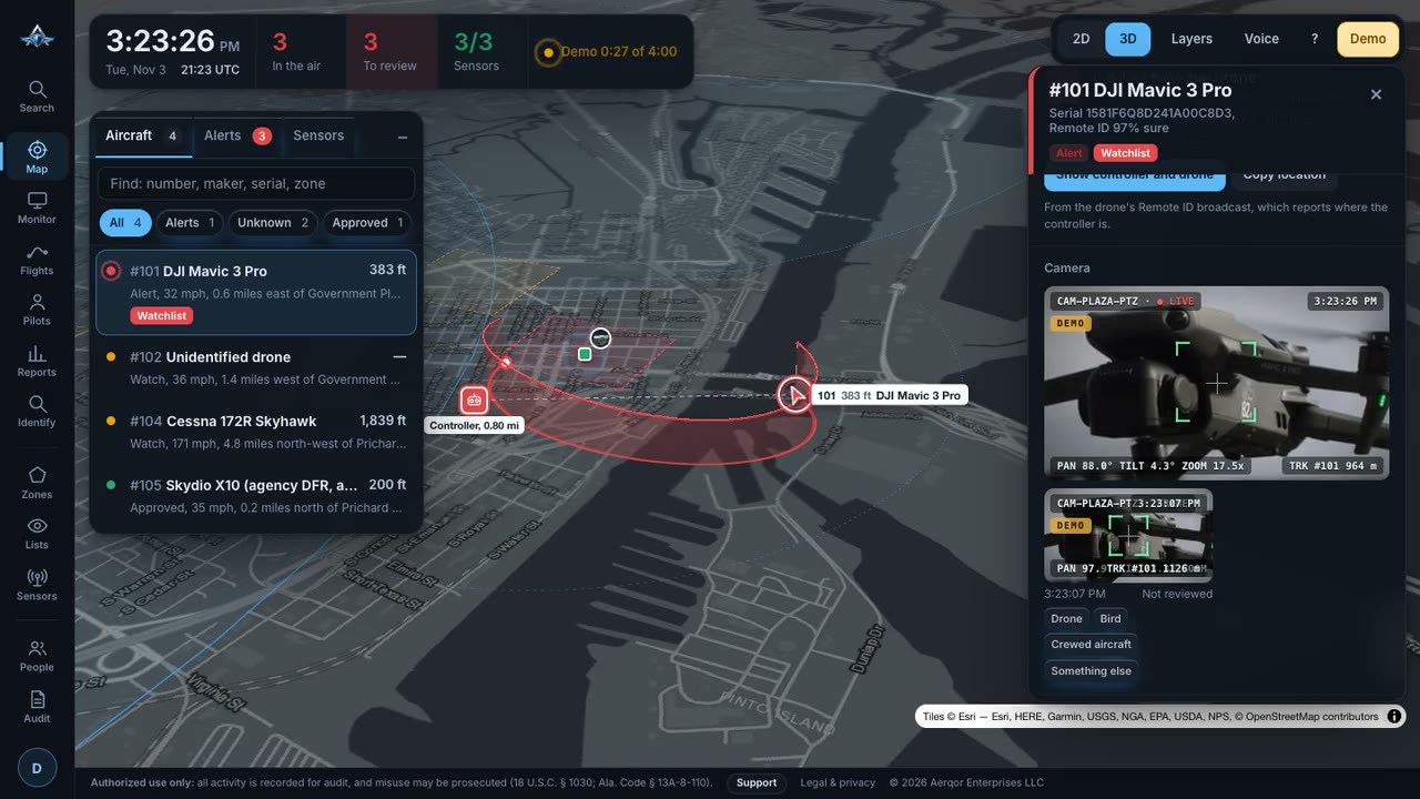
Weatherproof sensor nodes watch the sky around your site day and night. Every report becomes one track you can act on.
- DetectDrone control links, Remote ID broadcasts and crewed-aircraft ADS-B, with optional radar.
- FuseEvery sensor's report merges into one track: position, height, speed and heading.
- IdentifyMake, model and serial checked against FAA and FCC records, your watchlist and approved fleet.
- AlertAlways on. Alerts on your preferred critical areas go straight to your inbox.
- ConfirmThe camera slews to the drone, the pilot is on the map, and evidence is sealed.
The console
What your team sees.
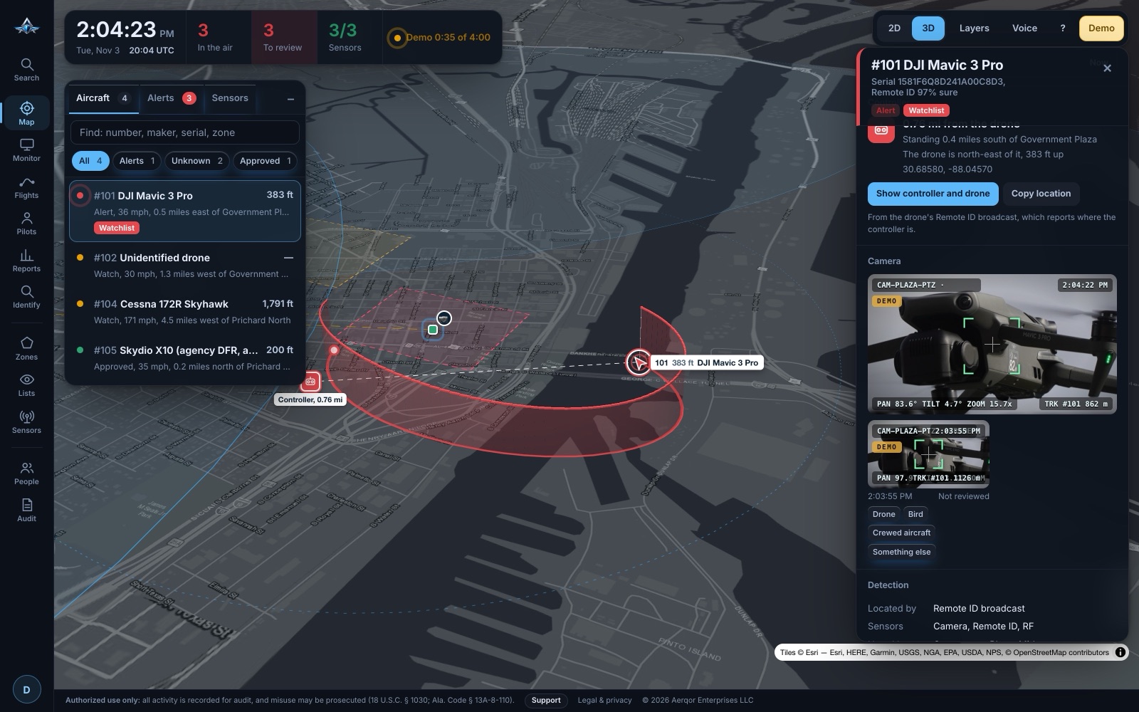
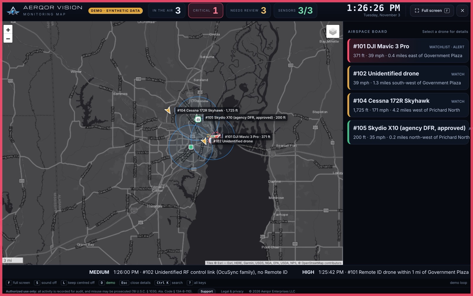
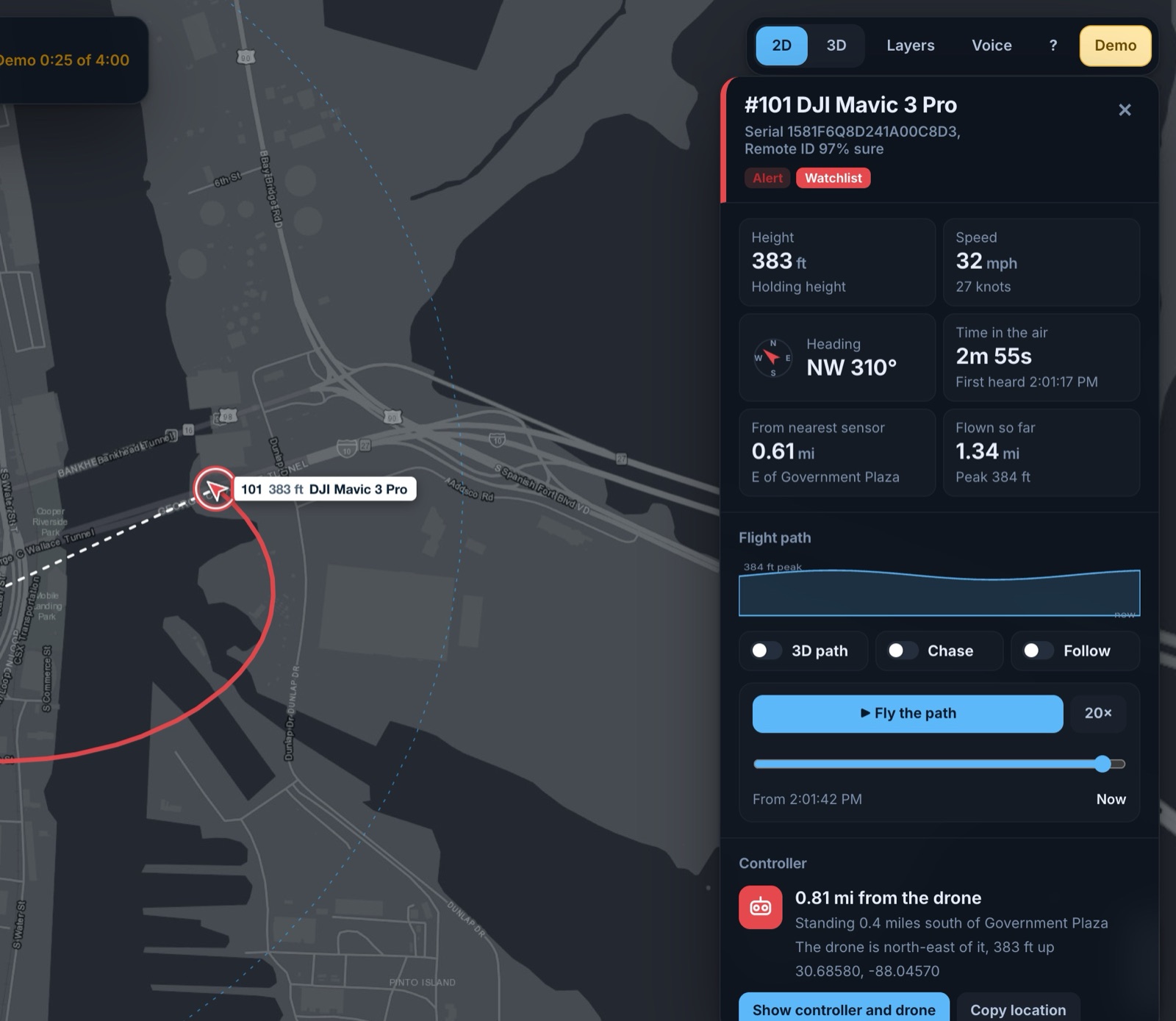
Screens shown with synthetic demonstration data.
Sensor packages
Start with RF awareness. Add confirmation as you need it.
Core
RF Awareness
Detection, identification and tracking
- Control-link detection with direction finding
- Remote ID over Wi-Fi and Bluetooth, including pilot location
- ADS-B separates crewed aircraft from drones
- FAA and FCC identification, watchlist and approved fleet
- Always-on alerts to your inbox
+ Camera
Visual confirmation
- PTZ camera slews to every track automatically
- Confirm the aircraft before anyone acts
- Evidence frames sealed with SHA-256 hashes
- Works with standard ONVIF PTZ cameras
+ Thermal
Confirmation at night and in poor visibility
- Thermal imaging confirms drones in the dark
- Sees through haze, smoke and low light
- Same slew-to-cue and evidence chain
- Works with ONVIF thermal camera heads
Built for
Commercial sites and critical infrastructure.
Aerqor Vision is passive. It never jams, spoofs or takes control of any aircraft, so it watches your airspace without interfering with anyone else's.
- Power Plants & Substations
- Water & Wastewater
- Ports & Terminals
- Data Centers
- Refineries & Chemical Plants
- Stadiums & Venues
- Corporate Campuses
- Correctional Facilities
- Logistics & Rail Yards
See it on your site.
A live demonstration, a perimeter assessment and a node-placement map for full coverage.